ViewRanger Premium for Kiwi explorers
- October 13, 2018
ViewRanger, the outdoor GPS app and global community for outdoor enthusiasts, has launched PREMIUM, a powerful bundle of features and tools that take the awarding-winning ViewRanger app to the next level.
With PREMIUM, outdoor enthusiasts — hikers, cyclists, walkers, and adventure lovers — can now explore their world in AR and 3D. They can save more offline maps. And, they can feel safer by privately sharing their real-time location with friends and family while on outdoor adventures.
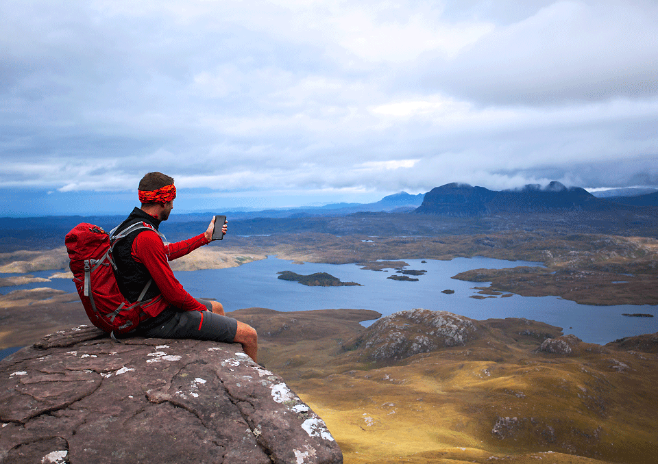
PREMIUM helps people explore in new ways. It delivers four amazing and helpful features:
Skyline: Use your camera to identify peaks, places, and other points with augmented reality. See direction arrows and waypoints when following a route too. 3D Flyovers: See tracks and routes in amazing 3D. Replay your recorded tracks. Pan and zoom around your own pre-planned routes and route guides shared by other publishers.
BuddyBeacon: Bring safety to every outing. Privately share your real-time location with friends and family.
Unlimited Offline Maps: No signal, no problem! Save unlimited offline maps across the world in 5 styles. Explore anywhere without mobile and data signals. PREMIUM is available for $6.49 NZD per year.
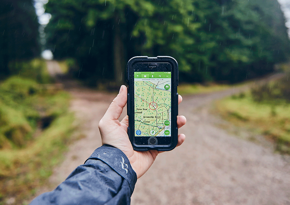
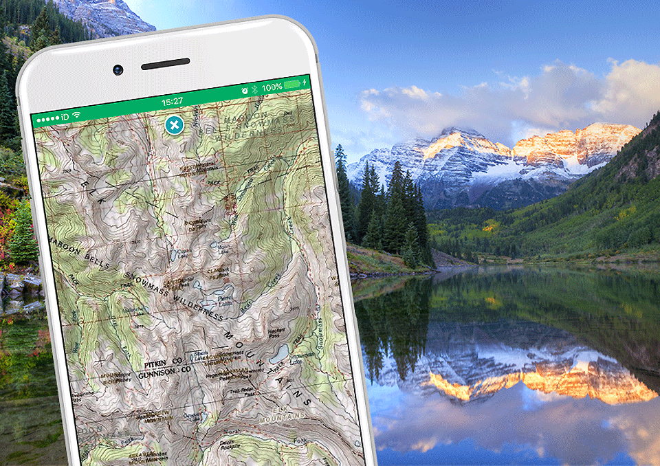
For explorers who want more even detailed outdoor maps, PREMIUM can also be bundled with best-in-class topographic maps for select countries. PREMIUM + Map bundles are available for 7 countries: Belgium, Canada, France, Great Britain, Netherlands, New Zealand, and United States.
In New Zealand, ViewRanger explorers can bundle PREMIUM with Land Information New Zealand (LINZ) maps, a topographic-style map showing the detailed locations and elevation contours of tracks, peaks and other terrain down to a 1:50k scale. ViewRanger explorers can try any PREMIUM + Maps bundle for free for 7 days in the ViewRanger app. www.viewranger.com


